
Survey smarter.Digitize everything.

We survey the land from every angle: drone, field, total station, then build the GIS software that puts it all in motion. Rooted in Gujarat. Ready for India.

5L+

Properties Surveyed

30+

Municipalities

98%

AI Accuracy

6×

Faster Delivery

Digital Drone Survey

Eyes in the sky. Every inch captured.

CSP deploys precision drones to capture complete aerial imagery of properties and land — delivering orthomosaic maps, 3D point clouds, and LiDAR data with centimeter-level accuracy across entire cities in days.

01 / 04
Property Mapping

Every boundary. Every detail. Digital.

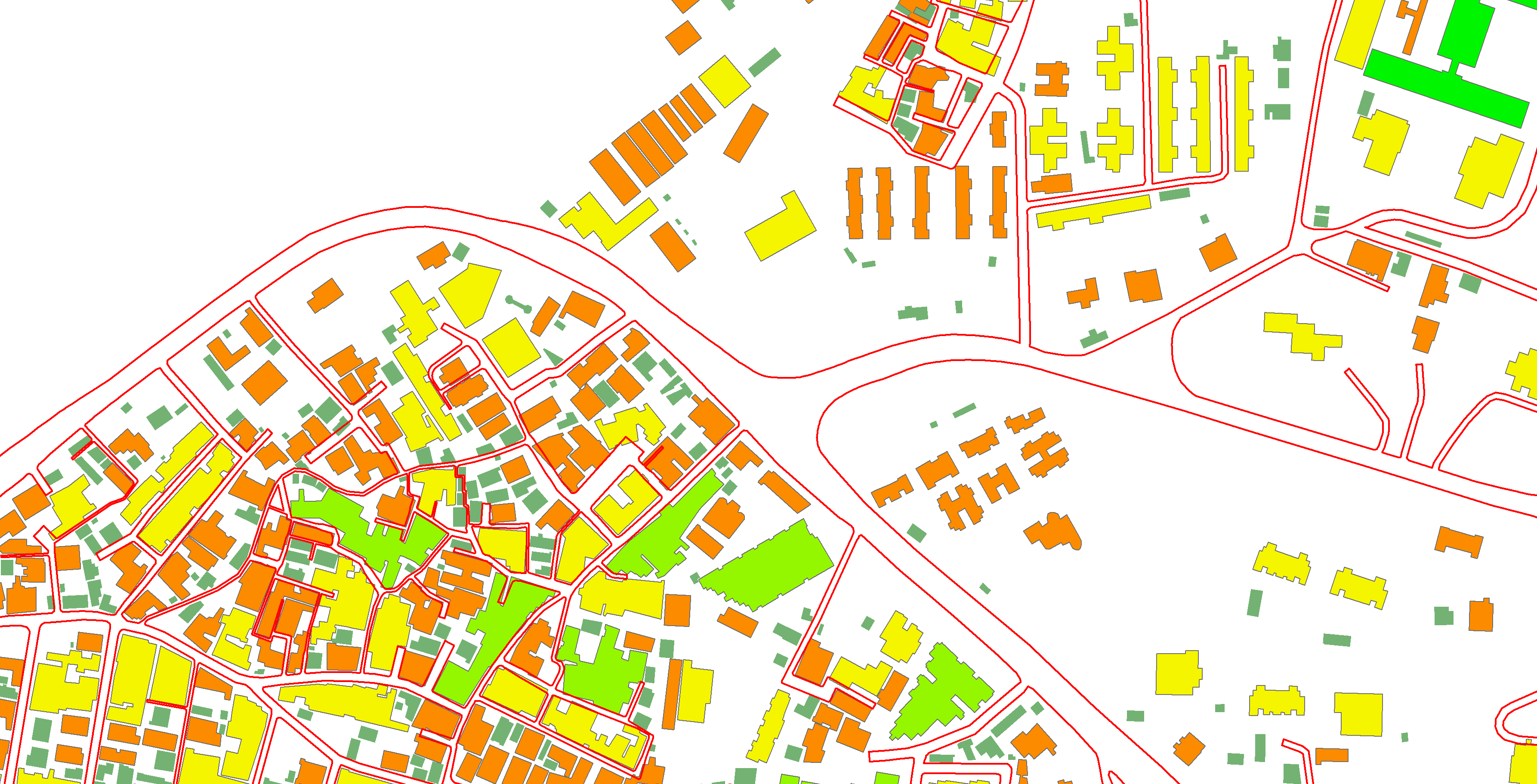
Our AI platform converts aerial and ground survey data into structured GIS property maps — boundary polygons, ownership attributes, zone classifications — all verified and ready for municipal integration.

02 / 04
Field Survey

Ground truth. Precision guaranteed.

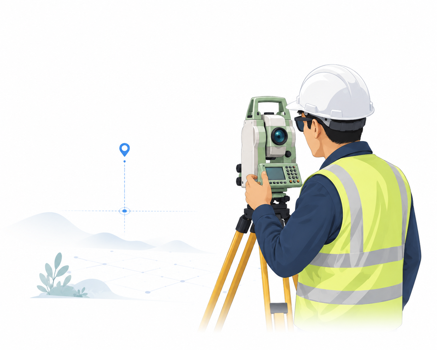
Our certified surveyors deploy total stations for boundary demarcation, construction layout, and legal-grade measurements where aerial data needs ground verification — RERA compliant output every time.

03 / 04
Increase Revenue

Smarter data. Higher returns.

Municipalities using CSP's digitalized property records recover 30–60% more in property tax revenue by eliminating unregistered properties, reducing manual errors, and enabling data-driven urban planning decisions.

04 / 04
Eyes in the sky. Every inch captured.
Scroll

Four disciplines.
One company.

From sky to software — CSP covers the full stack of property intelligence.

Aerial Survey— 01

Drone & Aerial Mapping

LiDAR · Photogrammetry · Orthomosaic · 3D Point Cloud

High-altitude, centimeter-accurate surveys capturing property boundaries, topography, and land-use across vast areas — weeks faster than traditional methods.

Start a project
01

2cm

Accuracy

Ground Survey— 02

Total Station Precision

Boundary Demarcation · Construction Layout · Legal Compliance

Where aerial access is limited, our certified surveyors deliver exacting ground-level measurements — legally compliant and RERA-ready.

Start a project
02

1mm

Precision

AI Platform— 03

Property Digitalization

OCR · Computer Vision · GIS Export · Bulk Processing

Our proprietary AI converts paper records, old maps, and raw survey data into structured GIS databases for municipalities — at city scale, overnight.

Start a project
03

98%+

AI Accuracy

Software Dev— 04

Custom GIS Software

Web Portals · Mobile Apps · Municipal Systems · Dashboards

End-to-end software built for land intelligence — from citizen-facing property portals to officer dashboards and automated data pipelines.

Start a project
04

10+

Products Shipped

IMPACT

Our Impact

Numbers that tell
the real story.

0L+

Properties Surveyed

Across Gujarat's urban and rural zones

0+

Municipalities Served

From taluka to city-level bodies

0%

AI Accuracy Rate

On digitalized property boundaries

0×

Faster Delivery

vs. traditional survey timelines

Gujarat municipalities that
chose precision.

From taluka-level bodies to city municipalities — CSP has digitalized property records across Gujarat.

11+

Municipalities

5L+

Properties Digitalized

Gujarat

State Coverage

Savli Nagar Palika
Mangrol Nagar Palika
Wankaner Nagar Palika
Tankara Nagar Palika
Nakhtrana Nagar Palika
Patdi Nagar Palika
Viramgam Nagar Palika
Kalol Nagar Palika
Vijapur Nagar Palika
Visnagar Nagar Palika
Gondal Nagar Palika
Savli Nagar Palika
Mangrol Nagar Palika
Wankaner Nagar Palika
Tankara Nagar Palika
Nakhtrana Nagar Palika
Patdi Nagar Palika
Viramgam Nagar Palika
Kalol Nagar Palika
Vijapur Nagar Palika
Visnagar Nagar Palika
Gondal Nagar Palika

Gujarat Urban Development Mission · Property Digitalization Program

The technology
behind every boundary.

CSP's proprietary platform turns weeks of manual property record work into hours of automated, AI-verified output — at scale, overnight.

01

Capture

Drone or total station collects raw spatial data — imagery, point clouds, GPS coordinates.

02

Process

Our AI engine ingests the data, runs boundary detection, OCR on legacy records, and cross-validates.

03

Digitize

Every property is rendered into a structured GIS layer — boundaries, attributes, ownership data.

04

Deliver

Municipality receives a verified, compliant digital record set. Ready for integration or print.

Gujarat's impact,
measured in precision.

From Kutch to South Gujarat — every dot is a municipality that trusted CSP to digitalize their property records.

5L

Properties Digitalized

Across Gujarat municipalities

15+

Municipalities Served

Nagar Palikas & urban bodies

98%

AI Accuracy

On boundary digitalization

6×

Faster Delivery

vs. traditional field methods

The precision you need.
The speed you want.

Start a Project

01

Gujarat Specialists

Deep local knowledge of municipal systems, RERA laws, and land revenue processes — we've been operating here since day one.

02

AI + Human Verification

Our AI handles speed; our certified surveyors handle accuracy. Every output is dual-validated before delivery.

03

True End-to-End

One team from site visit to final GIS export. No handoffs, no coordination gaps, one accountable partner.

04

Government-Grade Security

All data encrypted at rest and in transit. Access controls meet Indian government data handling standards.

05

6x Faster Delivery

What takes months traditionally takes us weeks. Our aerial + AI stack compresses timelines without cutting corners.

06

Ongoing Partnership

Post-delivery, we stay available — record updates, additional surveys, platform maintenance. We're in it long-term.

Let's survey
your next project.

Tell us about your project. We respond within one business day with a tailored scope and quote.

Get a Free Quote